So, I finally did it… At least parts of it. Even though all the objectives were not achieved, it was a major personal milestone for me. I’ve been thinking about the Anini Seven Lakes Trek ever since it was revealed to the world a couple of years ago and this region is among the 40 most unexplored regions of India in my list.
This area is so remote that hardly anyone knew about this trek apart from some local hunters whose natural abilities are beyond the comprehension of city dwellers. Local mountaineers and officials planned to develop it into a tourist circuit and only around 2020, the images of the high altitude lakes started going viral in the SM and suddenly it became the most sought after trek in North East India.
The Dibang Valley has many other attractions that I’ll explore in the near future. It’s also going through some turmoil due to controversy over a power project being constructed in the ecologically fragile region. Maybe I’ll explore that issue some day.
Usually I just love to roam around on my own or with one or two people I know. But this is just not that type of a place and you can’t do such multi-day trek without guides. So, it was going to take some adjustments from my end.
So, the trip started from Dibrugarh where I met Vishwanath from Summiters Adventures who planned the trek from Bangalore to Bangalore with another client (I did Nethravathi Trek with them a few years ago). We quickly reached Roing and then Anini the next day after a longish ride but I was pleasantly surprised to find out that the road conditions were pretty good. Construction of the highway has been going on here and although not complete yet, there were many smooth stretches, cutting down the commutation time to around 7-8 hrs.
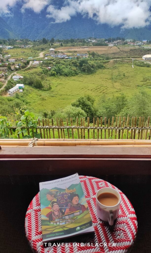
At Anini we checked into a newly built homestay built at sort of a hillock overlooking the town, consumed some local liquor called Yuchi and met the local operators of Emudu Trekkers (Emudu means sky in Idu Mishmi) who handle the trek operations on the ground. As some people had cancelled their bookings, we were left with only three people for this expedition and along with us, three local boys joined as guides/porters.
Here, it is noteworthy that most of these local guides have been recently trained and it has given them a new source of livelihood. Tourism is still new in this area and this is a good example of economic upliftment in remote regions.
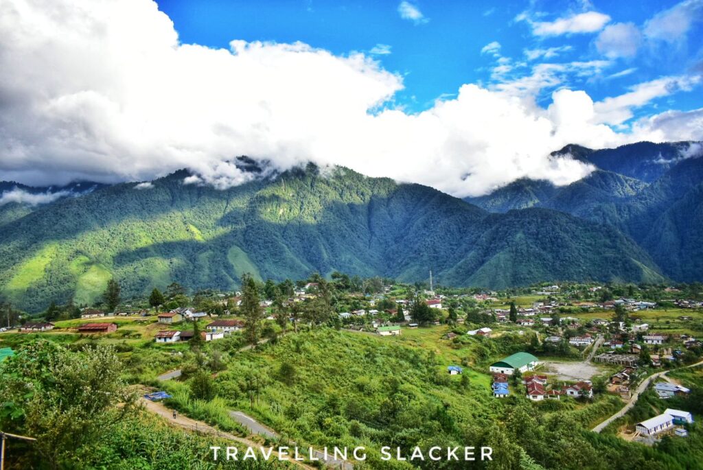
Emuli Grasslands
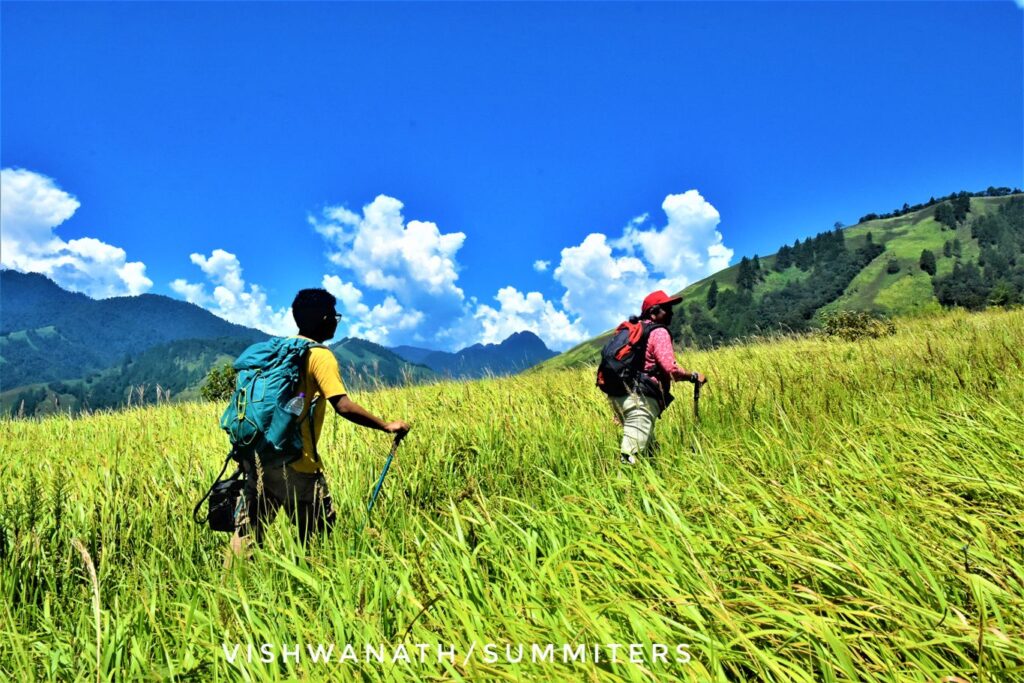
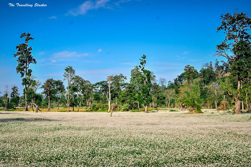
The next morning, we had a hefty breakfast with local rice and eggs and set out in a car towards Emuli, the starting point which is around 22 KMs away from town. A car had been arranged and our guides had got the supplies already. They had also taken a few live chicken but we dissuaded them and got them returned. It took around one hour to reach the trekking point. So, Emuli Grasslands is exactly what the name suggests. It’s a lush green grassland, somewhat reminiscent of Shola grasslands the Wester Ghats ( you can see a bit of it in my Nethravathi Trek post). It’s around 5-6 KMs from the roadhead to the first camp at the end of the grasslands.
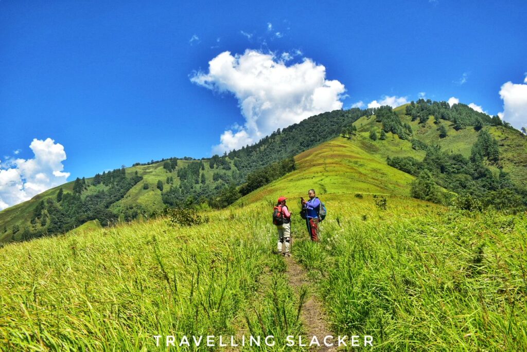
The initial part of the walk was easy. We passed shrubs of tall grass dotted with giant ferns. As a matter of fact, there’s much to see here although we were in a hurry. A lot of wildflowers and insects can be spotted in the grass if you have the eye for it. I think these grasslands should be treated as an individual attraction, not just the first day of a trek.
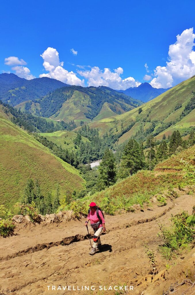
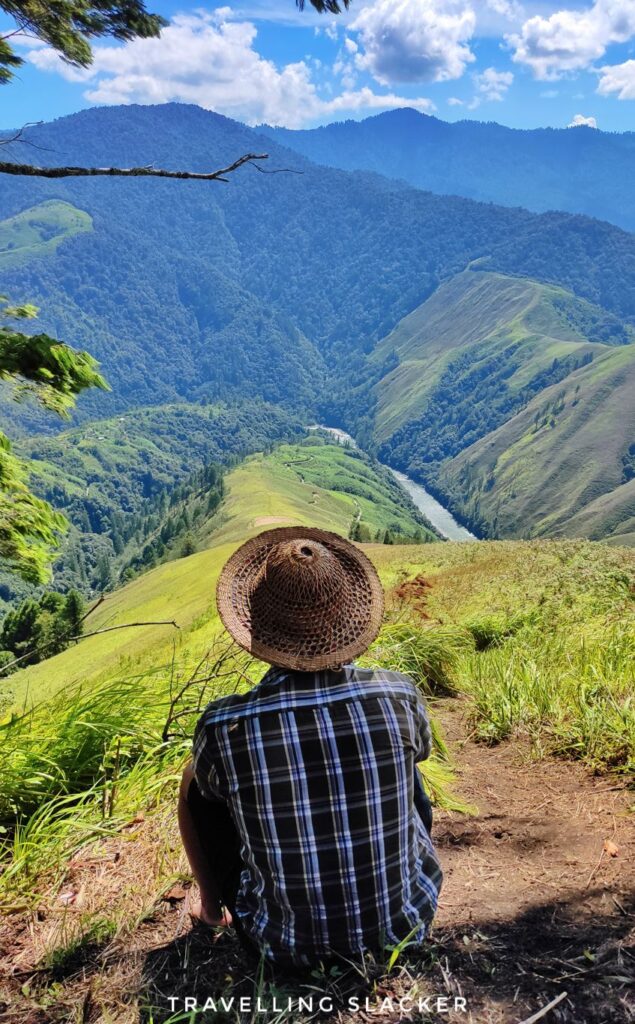
As we gained elevation, the vistas got better as we saw the slender Mathu River below, with rolling hills towering over the gorge. The first half of the trek was easy but it became extremely steep after a while. The second half of the day involves at close to 70 degree gradient and tall pine trees also start showing up. The “end” of the trek looks close from a distance but it took around 4.5 hrs to finally cross the grasslands and reach the edge of the rainforest (that’s for the next day).
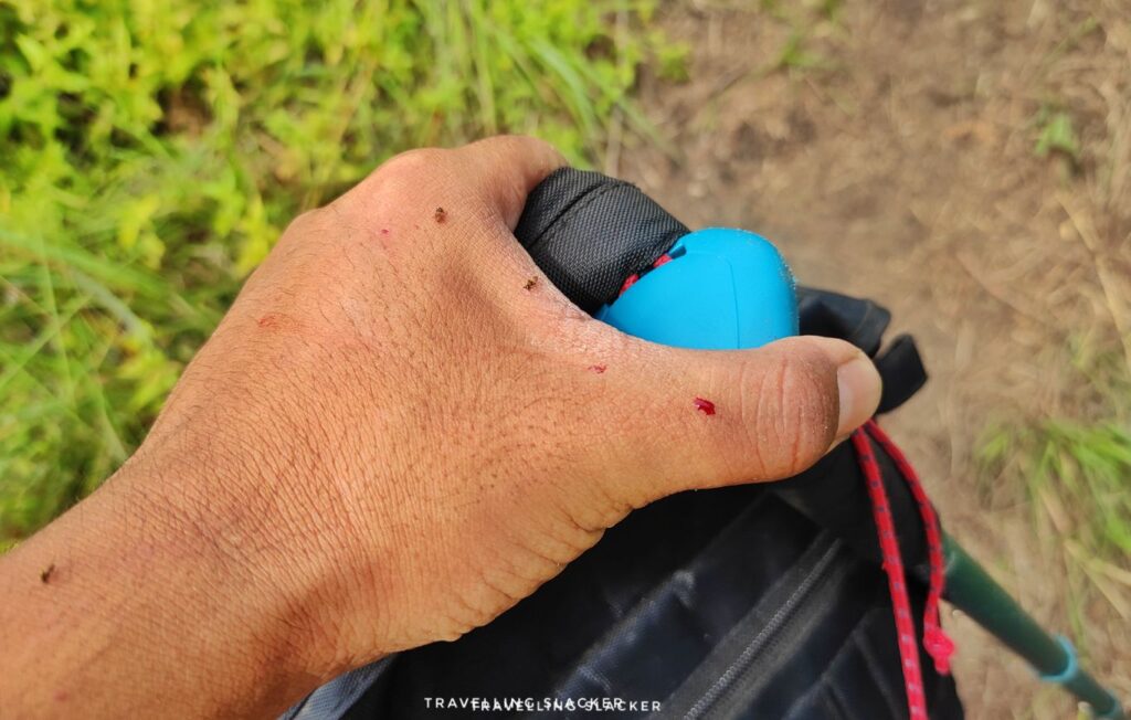
During the later part of the hike we were also assaulted by dumdims (small blood sucking flies), that left visit bytemarks on the skin. We were carrying repellants but they turned out to be ineffective. Much later, back at the homestay, our hosts told us that a mixture of Dettol and mustard oil works better for this purpose!
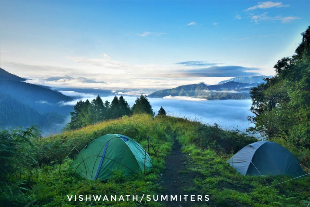
Anyway, this is where a wooden Hut has been built and a few tents have been set up. This is called the Aniku Camp, where we settled down.
Into The Rainforest
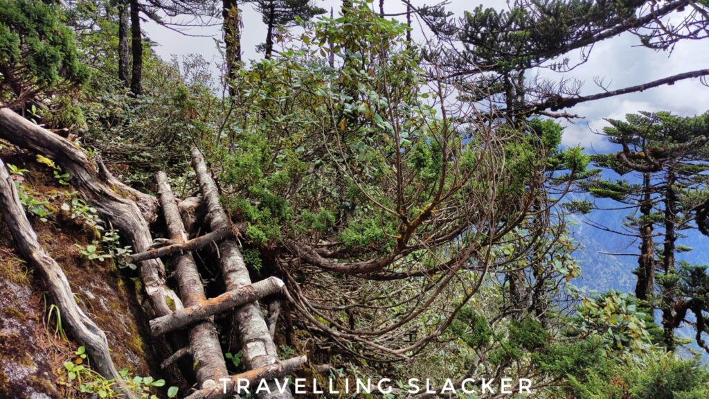
Although steep, the first day was enjoyable and we didn’t have much trouble. But the second day showed us what’s in store for the rest of the trip. The grassland gives to a thick rainforest here. It’s so dense that the canopy prevents light from reaching the ground. The entire route is full of mud and they gleefully call the camp the Keechad Camp (Mud camp).
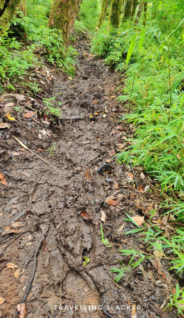
It is also remarkably steep, just like the first day, with the additional difficulty of the mud, where the boots were getting sucked into. The progress was slow and it took another 8 hours to negotiate it. However, at the end of the day we were pleased to find the wooden cabins built deep in the jungle.

The Lake and other Alpine Delights
The third day was a difficult one to start. Some muscles were protesting after the previous day. But there were more pressing problems. The weather had begun to deteriorate and the information we had was conflicting. Our guides were saying that the third day will be easy… Probably to console us. It soon became apparent that this day won’t be easy too.
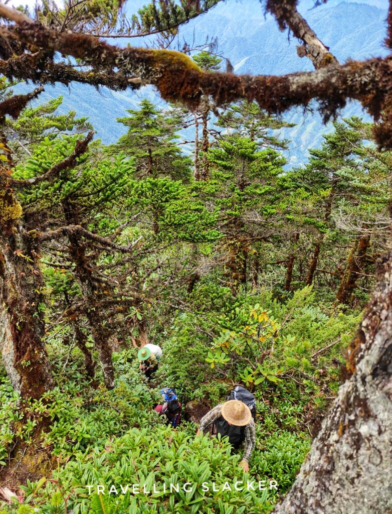
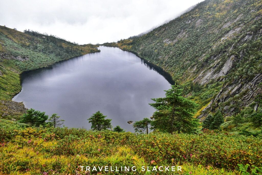
The first half of this trek was the same as the previous day. A mercilessly steep hike through the muddy slopes that took forever. Eventually, we reached a point from where one could see the first glimpse of the first lake, the Kamu lake. However, it was obscured by a thick veil of mist. By that time we had already reached an altitude of more than 3800 meters. The lake was actually below us. Actually, the lake is formed in sort of a crater and we saw no way to get down to the lake. The campsite is located overlooking the lake.

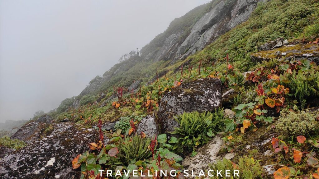
Soon, we realised that we’ll have to circumambulate this huge, elliptical lake and reach the other side, where the campsite is located. So, this brought new challenges. We were now above the treeline. The view of the lake started getting better as we proceeded. However, now we were in a region dominated by huge boulders.
Technically we were no longer climbing steep gradient but it was even more difficult as we were repeatedly climbing up big rocks and then climbing down through crevices and then climbing up again. At some places there was no way to simply hike up. So, ropes have been fixed here by the team to climb up.



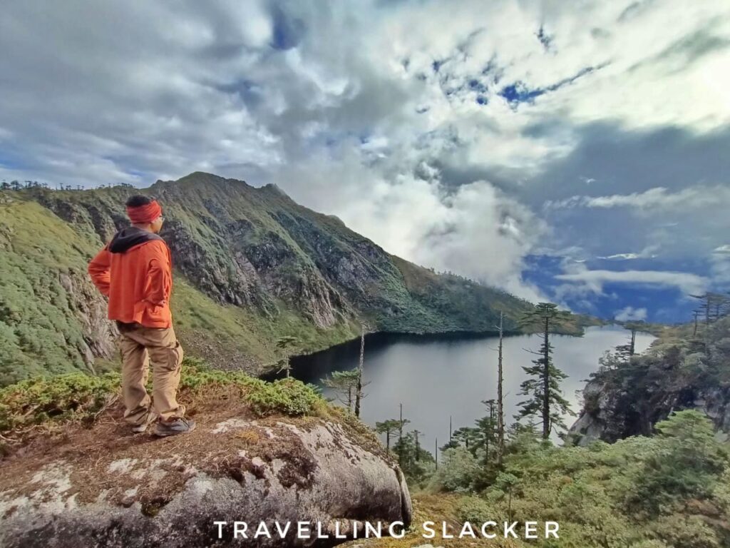
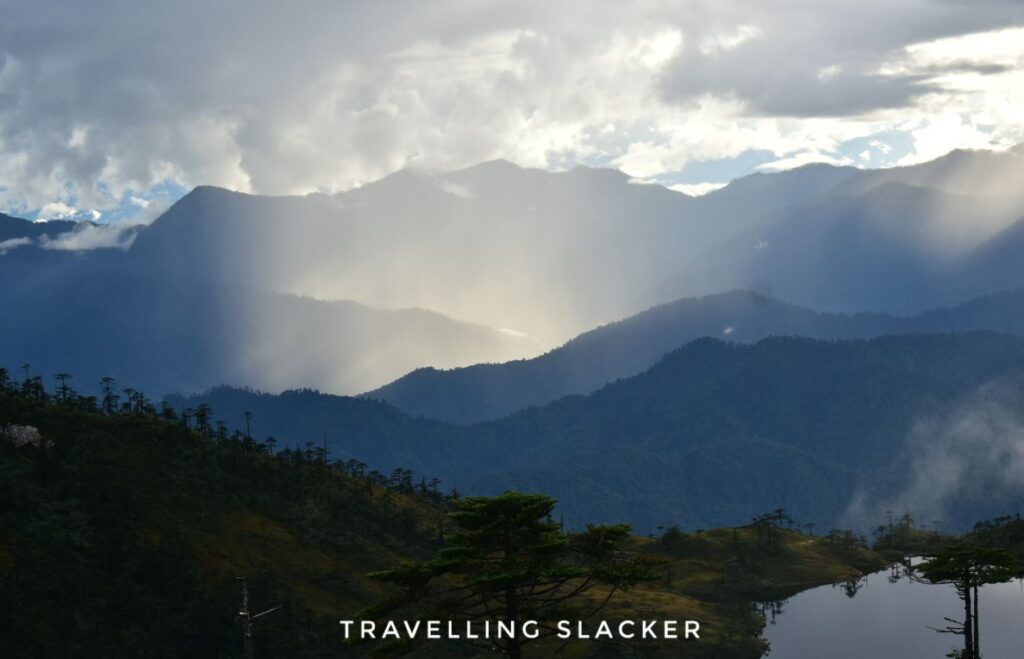
It looked neverending and the day was tiresome but finally we reached the camp in the afternoon and albeit for a brief period, got good golden hour light and clocked pictures of the lake to our heart’s content.

Reluctant Retreat
So, this was it. We were exhausted already and it started raining incessantly that night. When we woke up in the morning, we found out that the lake has become completely invisible. So, the doubts started creeping in. What if it remains the same in the next lake too? What’ll be the use of all the hardwork? And return will be far longer and more difficult then. If I was in better shape I would have still pushed forward with a bit of risk. Another option was to spend a day at that camp to rest and to wait for the weather to clear. However, there’s no guarantee of clearing up after a day. Also, the guides were also not too keen to extend the trip by additional days (there was a question about supplies too).
So, with a heavy heart we took the decision to return. On hindsight, it was not the wrong decision because we got intermittent rainfall for the next couple of days too. The return was still faster and we reached back camp 2 in around 6 hrs.
Back to Anini
So, we had one final day remaining. However, we had to cross the camp 1 as well as the grasslands and reach the roadhead. We took two days to cross these earlier. On paper, descent should have been easy. However, the rains had made the muddy portion even more slippery. Still, this turned out to be the easier part!
We reached the first camp and after a brief breather, started descending down the grasslands. We had pleasant memories of it from a few days ago. However, somehow we didn’t realise the steepness of this terrain while coming up. Descent through Emuli is far tougher. The hills just nosedive into the valley here. There are no well-defined steps and unlike the rainforest above, there are no trees to cling onto. It took ages to cover that part which was supposed to be the easiest and due to steep gradient, we had to prevent ourselves from tumbling down, using the stick and the soles.
Eventually we managed it but my toenails almost detached themselves in the process. Anyway, this is where our escapades ended. A car had been arranged to take us back to Anini, where more local beer was waiting for us.
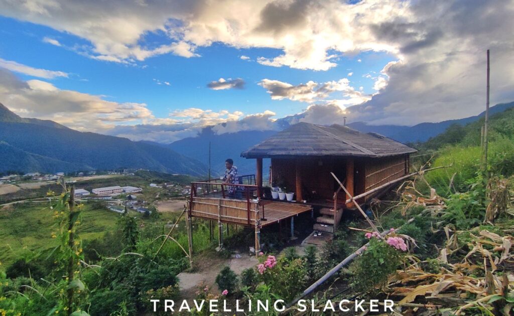
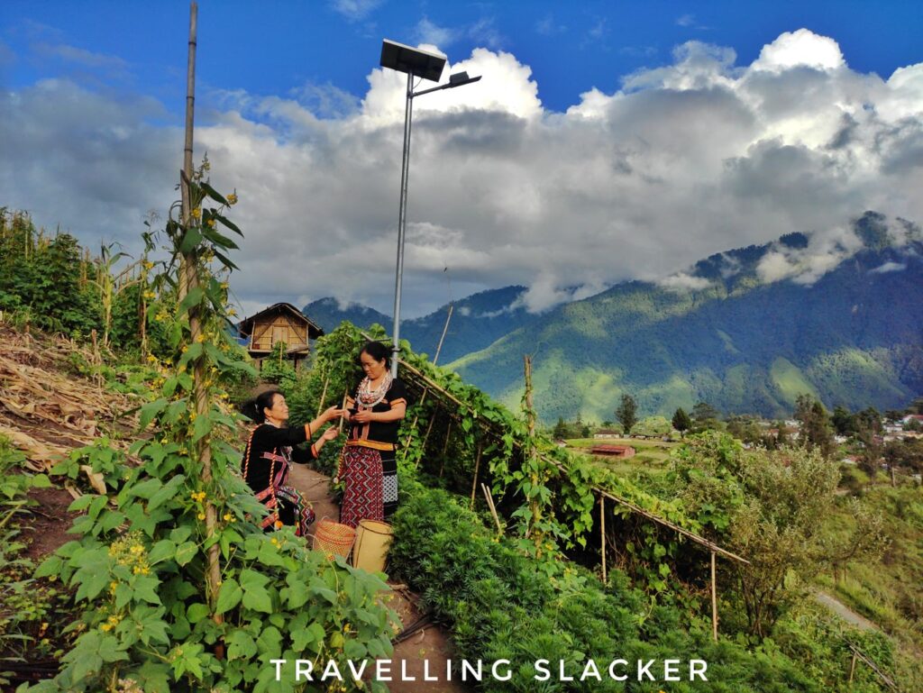
We used the next day only to clean up and relax and click some images of Anini Town. We got the mother and aunt of our host to pose for us too. So, I think this is a good way to end this tedious narration.
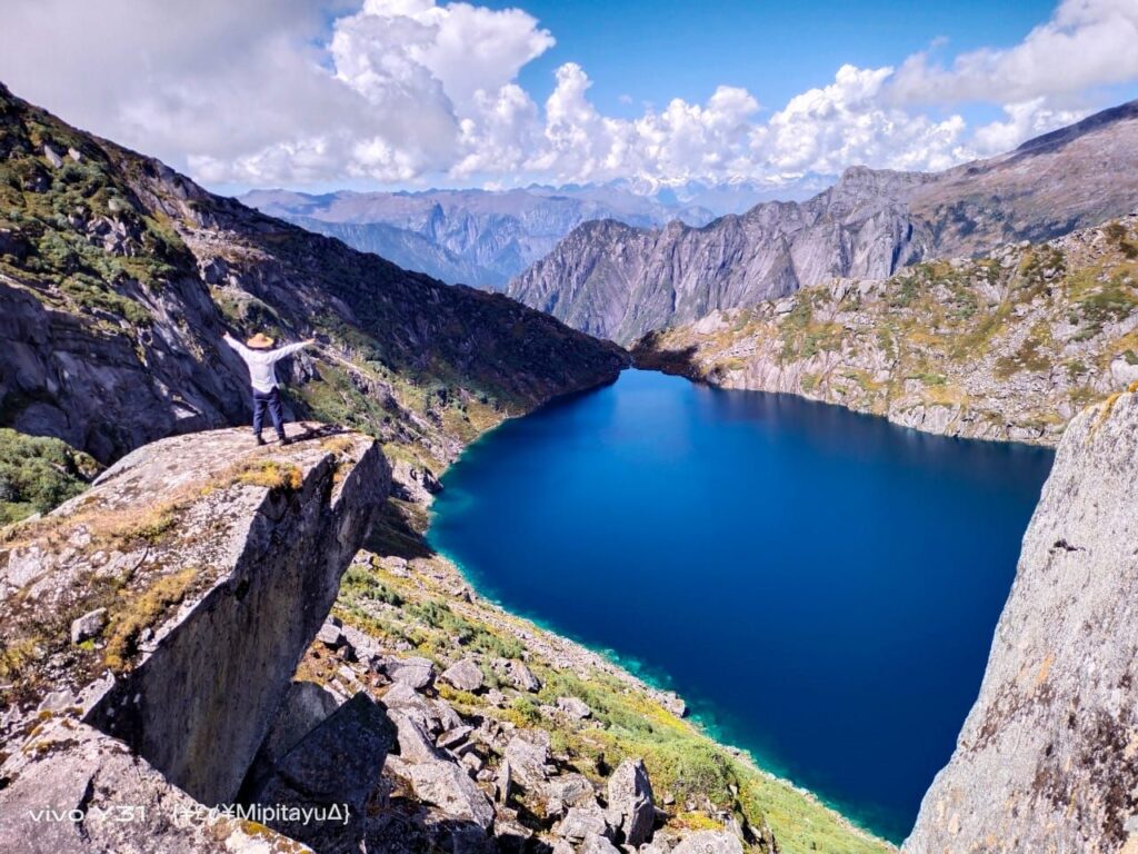
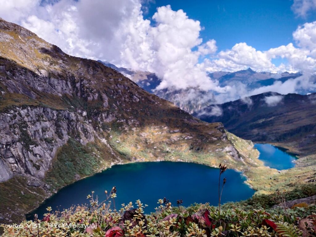
Also … Here are a couple of additional images of the last few lakes that we took from our guides. I am just posting them for information. I don’t own them.
A Note on Flora and Fauna of Upper Dibang Valley
Here, I must take a moment to discuss the flora and fauna of the region. I think the name Seven Lakes Trek makes it sound exciting but the lakes grab all the attention but there’s much more to explore here beyond the lakes. If you are interested, you’ll find real joy here is in finding interesting plants, insects, birds,and animals, if you keep your eyes open.
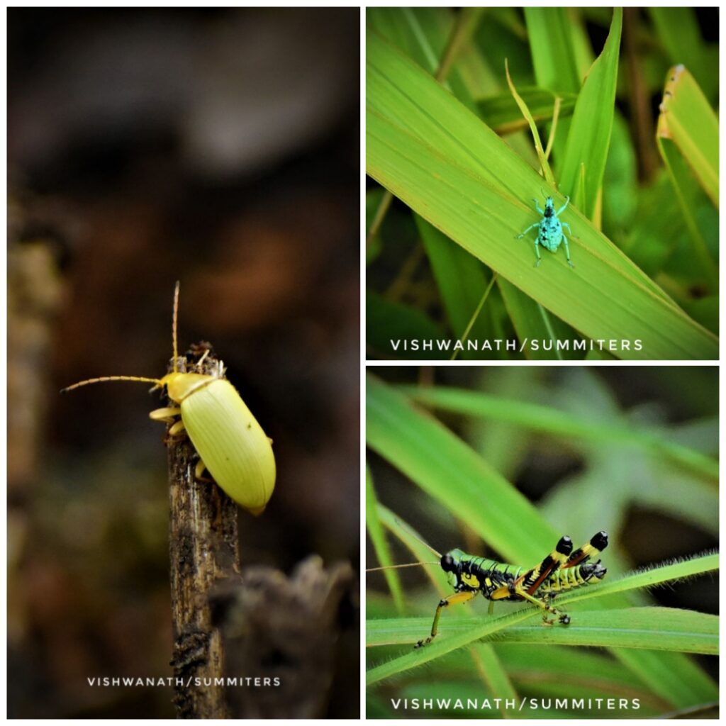
Nature of the flora and fauna kept changing everyday. We spotted plenty of insects in the grasslands of Emuli. Birds were visible too although hard to spot. Once we entered the rainforest, we spotted scores of mushrooms of varied colours and shapes. Vishwanath spotted a big snake and clicked as shown below.

Various wildflowers were visible still although we were past the peak flowering season. Some part of this forest is actually a thick rhododendron forest. It was autumn already and I could identify them from the leaves. One can only imagine the views when they bloom in the spring!

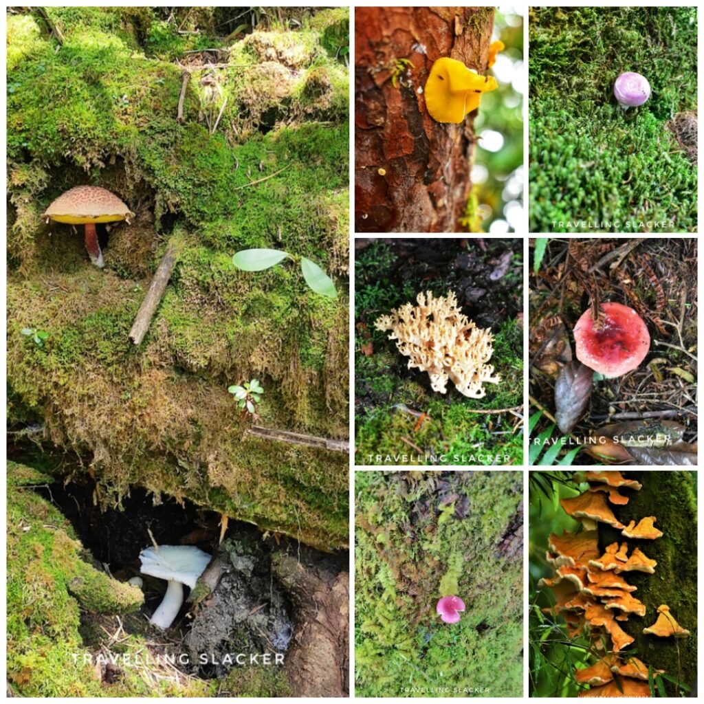

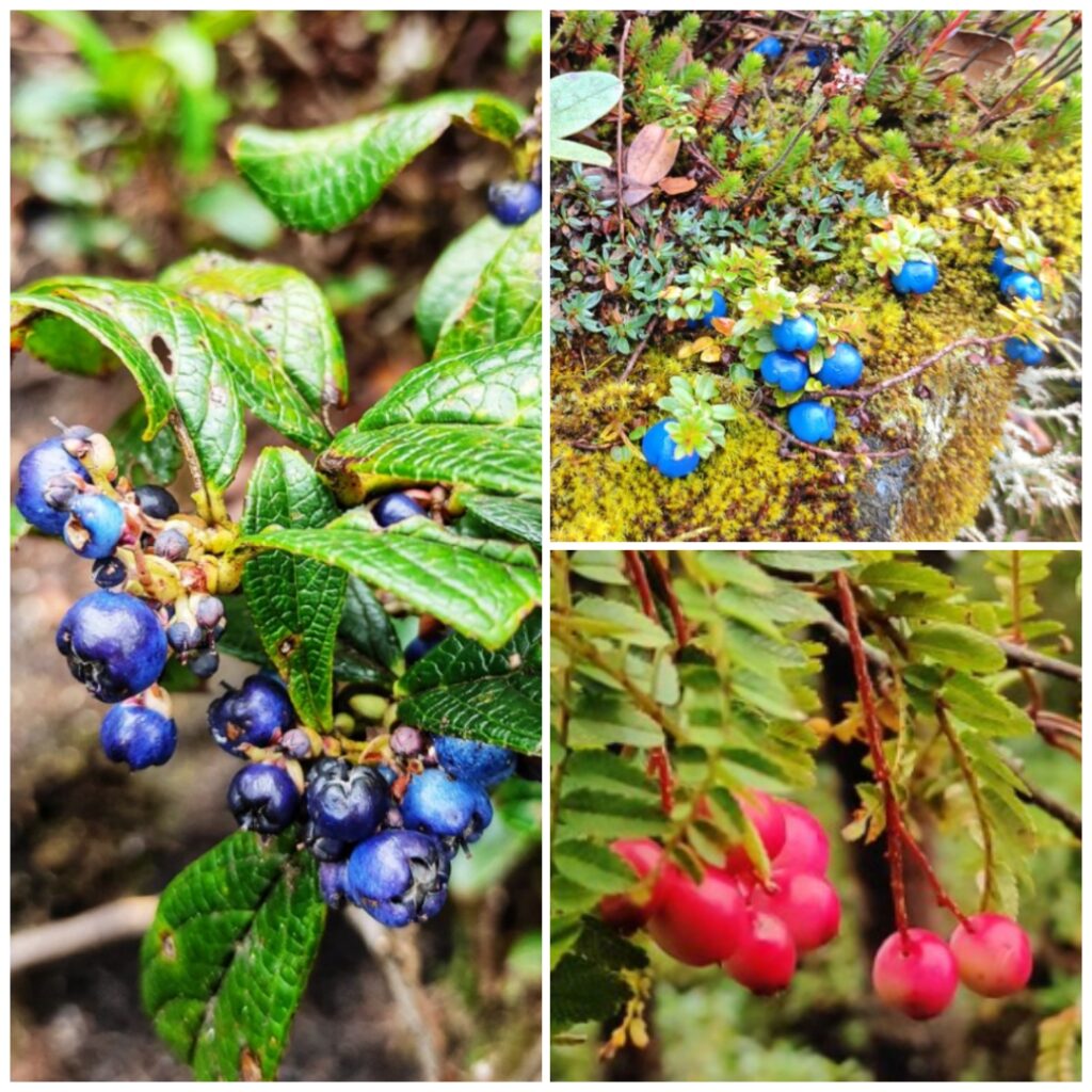
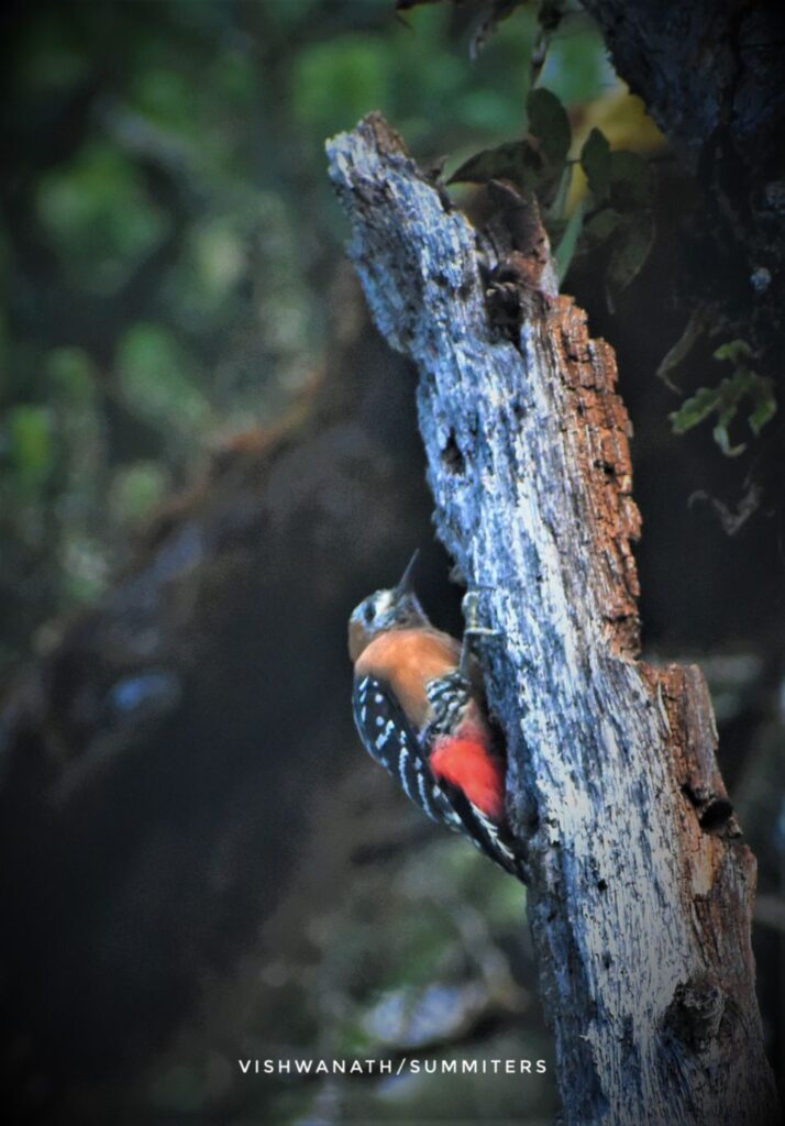
Once we crossed the forest and rose over the treeline, more familiar alpine environs welcomed us. There were certain interesting plants here and there, especially noteworthy were blue and pink berries belonging to gaultheria genus. There were many birds out there but we didn’t have the best equipment for birding.
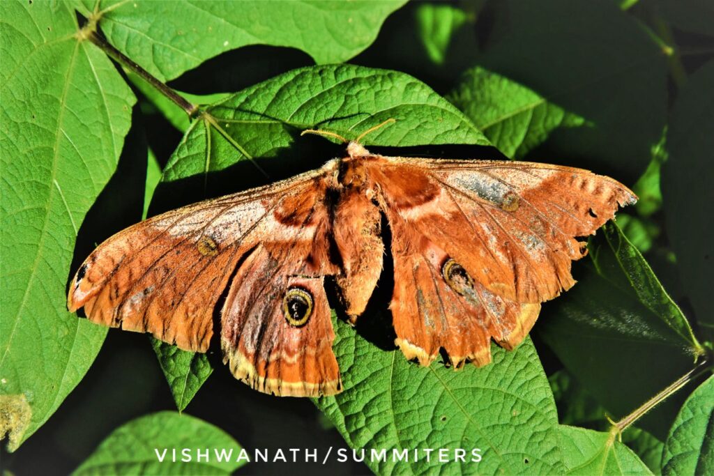
Larger mammals were not seen but then, you need more time and patience for that. Mishmi takins, red pandas, various types of big cats, Musk deer, mountain goats etc are expected to be sighted here. Post monsoon is also the butterfly season. We spotted plenty of butterflies and moths throughout the trip. Not only the jungles but even the road to Anini offered us enough sightings.

Anini Seven Lakes Trek Complete Travel Guide
The Anini Seven Lakes Trek is a difficult trek through the dense forests and alpine highlands of Upper Dibang Valley, not very far from the Tibetan frontiers. You’ll get to the lakes once you cross the dense rainforests but crossing the first hurdle itself takes some serious effort.
General Trek Itinerary
Day 1 Anini to Emuli drive and trek to Camp 1 (Aniku Camp) 22 KM drive, 5-6 KM steep trek (5-6 hrs total)
Day 2 Camp 1 to Camp 2 (Keechad Camp)7-8 KMs, 6-9 Hrs steep trek
Day 3 Camp 2 to Camp 3 (Lake 1)5-6 KMs 6-9 Hrs steep trek+ crossing Rocky areas using ropes etc. This camp is located overlooking the first lake.
Day 4 Camp 3 to Camp 4 (Lake 2)3-4 KMs 3-4 Hrs steep trek
This camp is located on the bank of the second lake.Further trek to Lake 3 and Lake 4 keeping Lake 2 as the base (additional 4-5 hr).
Day 5 Lake 5,6 and 7
Trek to lake 5,6, and 7 and return to the base camp.
Day 6 Return to Camp 2
Return to Camp 2 bypassing the Camp 3.
Day 7 Return to Anini.
Return to Anini by bypassing camp 1 and the Emuli Grasslands
Do note that this is the basic program. There may be scores of reasons to force a change in the plan including hostile weather and fitness levels of trekkers. Local youngsters and hardcore trekkers may do it in 4 day but most average people will actually need some rest in between. Most successful accounts I have heard, did it in 8-9 days with rest days in between due to inclement weather.
Altitudes/ Elevations during the Anini Trek
You gain significant elevation during this trek. It is actually difficult because you quickly gain height at short distances through very steep slopes. The trek starts at around 1800 meters and on the first day itself you reach over 2600 meters and the next day you reach 3300 meters followed by 3800 meters on the third day. The final camp and lakes are all located at heights above 4000 meters. Personally I’m used to such heights but I have seen people complain about breathing issues.
Stay and Food during the Trek
Fixed campsites have been developed at specific points during the trek. First two sites even have wooden huts while the rest have tents. Your local guides and porters will carry food and supplies too and cook too.
How to Plan?
As mentioned earlier, I did it with Summiters Adventures. While local guides will help you through the trek, Summiters helps you plan from the scratch, from your city and back.
Preparations for Anini Trek
You must have guessed so far that it’s not an easy trek unless you are a regular trekker. I’ve also lost my mojo after long pandemic downtime and I found it tough. You’ll do well to prepare a bit. Start working on your fitness at least one month prior to the trek.
Also, carry raincoat and a torch and energy bars with you. Another important point here are the shoes. The local operators suggest gumboots that you can get from Anini market. We didn’t listen to them and went with usual trekking shoes, which was a mistake. Don’t compare this trek to usual treks in Himachal or Uttarakhand. This kind of mud here makes the gumboots a necessity.
Phone and Data Connectivity
There’s no connectivity in Anini itself apart from BSNL. So, don’t expect anything in the trek. Plan accordingly.
Final Verdict
There’s much to see in Upper Dibang Valley. Lakes are there but don’t ignore the plants and creatures in pursuit of the lakes. The only thing I felt was that this trek will be much more enjoyable of it is officially envisioned as a 8 day trek with a rest day in between.
- The Best Places to Visit in Europe - 2026/02/04
- Best Places in the World to Attend a Cricket Match - 2026/02/04
- Planning a USA Trip Smartly With the Right Safety Coverage - 2026/02/02


Pingback: 15+ Best Treks in Northeast India - Periplus Northeast
That’s a wonderful and helpful post. Lovely images.
Pingback: Garo Hills Expedition: The Last Frontier | The Travelling Slacker
Hello, which home stay in Anini did you stay at? Would love their contact